AGRICULTURE
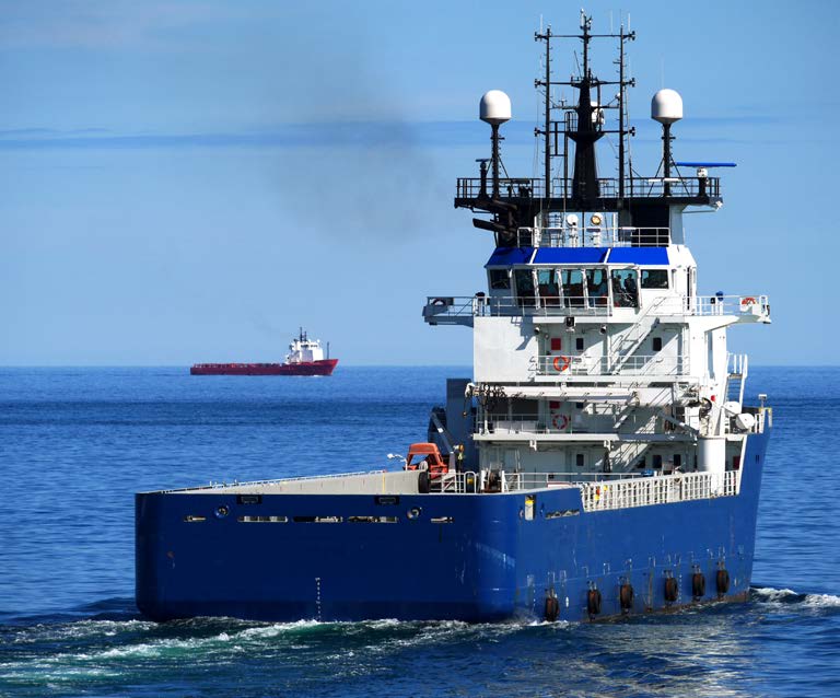
In addition to dramatically improving marine navigation, GNSS is also being applied to a broad range of marine applications, such as oil rig positioning, underwater cable and pipeline installation and inspection, rescue and recovery and the dredging of ports and waterways.
An interesting application of GNSS is the use of GNSS-equipped sonobuoys in underwater sonar systems.
Sonobuoys are dropped from aircraft over an area of interest but are left to float autonomously. The sonobuoys detect approaching ships and other hazards in the water by transmitting sound waves through the water, detecting reflections from vessels and objects, and determining the time it takes for the “echo” to be received. The data comes up to the sonobuoy’s float and then is transmitted with GNSS positioning data, over a radio link to a survey ship. The survey ship collects and analyses sonar data from a large number of sonobuoys, then determines and displays the location of ships and objects in the area of interest.
Knowing the depth of the seafloor in ports and navigation channels is critical to safe marine navigation. Maps of the ports and channels are created using bathymetric sonar systems.
Bathymetric sonar systems mounted in a marine vessel bounce sound waves off the seafloor to determine the depth of the water. Using these depth measurements, a map of the seafloor is created. For the seafloor maps to be accurate, the exact location of the vessel on the surface of the water must be known. A GNSS+INS integrated with the sonar system provides the precise location of the vessel for each sonar measurement. The GNSS+INS also provides the vertical location of the vessel to compensate for waves.
An article (Sounding the Depths) about how GNSS works with bathymetric sonar is in the 2014 Velocity magazine available at: resources.hexagonpositioning.com/sounding-the-depths.
Advancements in autonomous marine vessels are enabling unmanned surveying and other critical offshore operations either via remote operations from shore or from an office anywhere in the world. An article (Safe Autonomy at Sea) about how GNSS equipment is applied to marine autonomy is in the 2022 Velocity magazine available at: resources.hexagonpositioning.com/safe-autonomy-at-sea.