AGRICULTURE
Products have been developed that take 360-degree panoramic photographs to support the presentation of geometrically correct images on a computer screen. These images are continuous and precisely positioned. GNSS and IMU data are recorded before the panoramic photographs are taken. Position and attitude data is programmed into the cameras, allowing onscreen determination of positions of objects in the photos or measurements between objects.
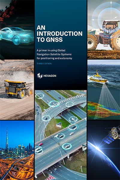
Using a LiDAR combined with a GNSS+INS, a user can capture comprehensive visual information of key infrastructure, such as oil and gas pipelines. This visual information provides the state, location and positioning of the infrastructure and its related assets. It also assists in planning for maintenance and modifications.
An article (Seeing is Believing) about how GNSS and LiDAR are used for infrastructure visualisation is in the 2014 Velocity magazine available at: resources.hexagonpositioning.com/seeing-is-believing.