
AGRICULTURE
We are constantly inspired by our customers' creative application of GNSS technology, whether for commercial, safety-of-life or recreational purposes. Custom GNSS applications often demand the versatility and durability available only from a NovAtel product line. Find out how some industries use GNSS technology and learn about the GPS cards, antennas and subsystems that help solve their precise positioning and timing requirements.

NovAtel develops and supplies specialized GNSS ground reference receivers to national Satellite-Based Augmentation Systems (SBAS).
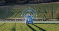
High accuracy positioning products that drive improvements in productivity, increase efficiencies and save time and input costs for the agriculture industry.

Global Navigation Satellite System (GNSS) technology provides the accuracy, availability and reliability that a vehicle requires to be autonomous.

Demanding work environments require the best technology solutions. NovAtel provides a wide selection of innovative GNSS positioning products that are highly reliable even under the toughest operating conditions.

Accurate, reliable and precise position and time measurements is critical for successful military operations.

Marine integrators have been relying on NovAtel's world leading GNSS OEM positioning technology for nearly two decades to ensure their equipment performs when needed most.
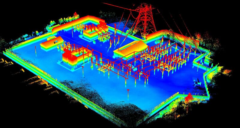
Mobile mapping refers to the collection of geospatial data using mapping sensors mounted on moving platforms such as cars, marine vessels or airplanes.

GNSS technology has dramatically increased the speed and productivity of professional surveyors through the use of on demand, centimeter level accuracy provided by RTK positioning.

GNSS satellites are equipped with atomic clocks that are accurate to within nanoseconds.
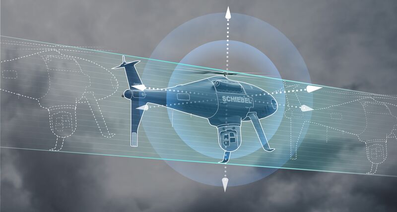
Unmanned systems include UAS, UAV and UGV and are utilized in a wide range of applications from military and defense applications to homeland security, aerial survey, mine detection, vehicle navigation and sport.