AGRICULTURE
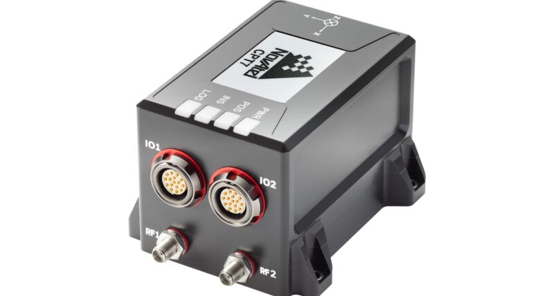
Compact, single enclosure GPS+INS system.
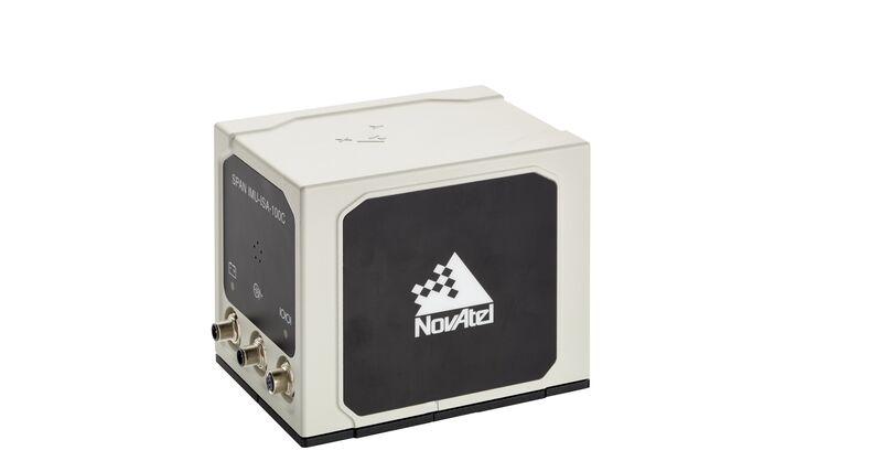
IMUs from leading manufacturers. Range of performance levels available.
An Inertial Navigation System (INS) is a system that is used to compute relative position over time from rotation and acceleration information provided by an Inertial Measurement Unit (IMU). An INS uses the measurements from the IMU to provide position, velocity and attitude (roll, pitch and azimuth) calculations. When an INS is combined with GNSS, the two navigation techniques augment and enhance each other. The stable relative position of the INS can be used to bridge through times when the GNSS solution is degraded or unavailable.